

Cajas National Park is a protected high-altitude landscape southwest of Cuenca, known for its glacial lakes and páramo trails. Its visitor sectors and trail choices make a day trip possible, but the altitude and park rules call for careful planning.
- Location: Azuay Province, southwest of Cuenca
- Distance: 32 km from Cuenca to the La Toreadora refuge
- Short trail options include routes estimated at 1 or 2 hours
- Park access is exempt from charge; overnight fees apply
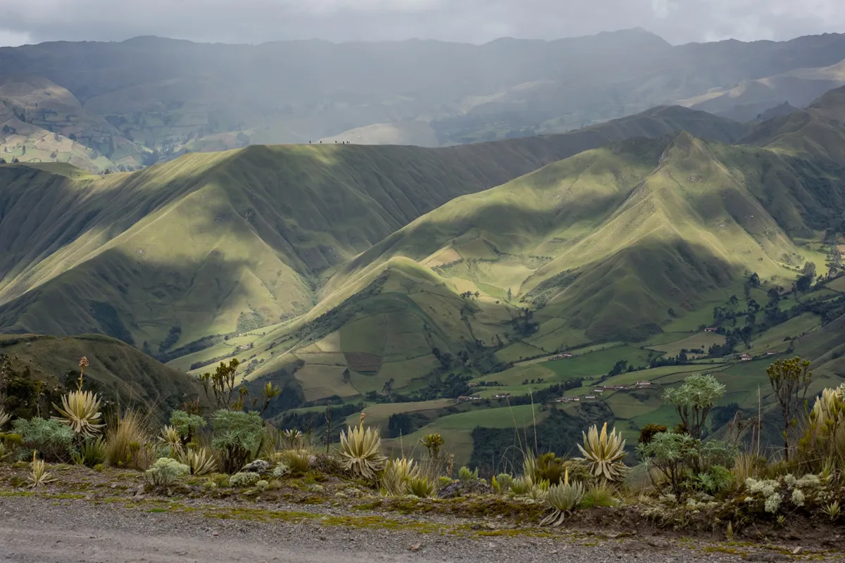
What makes Cajas a day trip from Cuenca
Cajas National Park is a glacial-origin lake system in Azuay Province, southwest of Cuenca. It has more than 246 lakes, and UNESCO recognized the Cajas Massif as a Biosphere Reserve in 2013.
The park was established in 1977 under Ecuador’s National System of Protected Areas and is managed by ETAPA EP, Cuenca’s municipal water and sanitation company. The road from Cuenca reaches the La Toreadora refuge after 32 km, making the refuge a practical point to plan around for a visit.
For a Cuenca stay, you can browse Siena Hotel rooms in Cuenca before planning your park day.
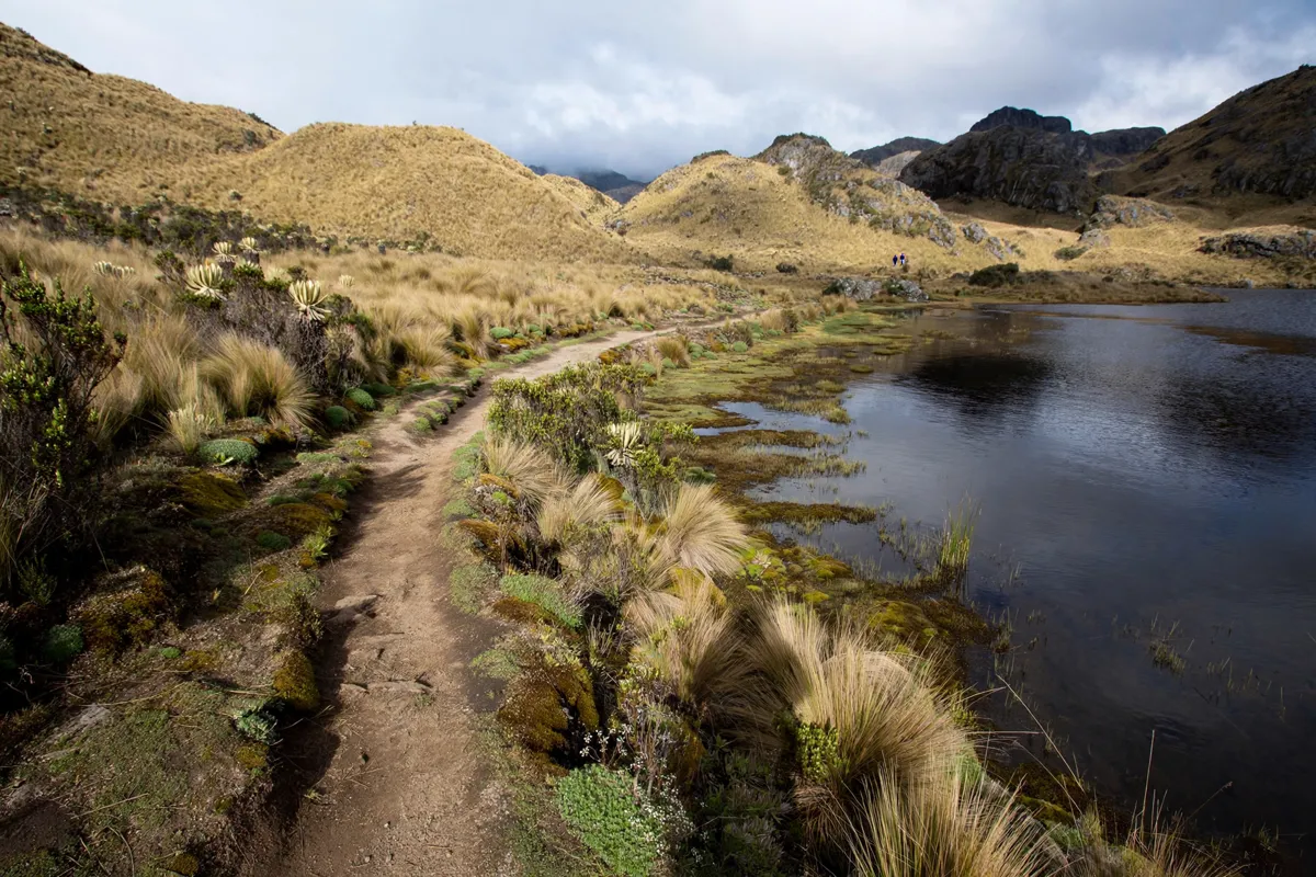
Choosing a park area and trail
La Toreadora and Llaviucu are two visitor sectors with different facilities, while the trail choices range from short, low-difficulty walks to demanding full-day routes. Check current route details with ETAPA EP before choosing, since conditions and access information can change.
La Toreadora trails
The Toreadora trail is 2.82 km long, rated low difficulty and estimated at 2 hours, at an average altitude of 3,947 m. The 0.57 km Tres Cruces trail is also rated low difficulty, with an estimated duration of 1 hour and an average altitude of 4,183 m.
For a longer outing, Route 1, Naturaleza e Historia Humana, covers 4.46 km and is rated moderate difficulty. Its estimated duration is 5 hours 5 minutes, at an average altitude of 3,900 m.
Route 2, Cumbre del Cerro San Luis, is 2.51 km, rated high difficulty and estimated at 3 hours 50 minutes, at an average altitude of 4,084 m.
Llaviucu and longer routes
The Laguna Cucheros trail is 0.99 km, rated low difficulty and estimated at 1 hour, at an average altitude of 3,885 m. For a substantially longer challenge, Route 7, Camino del Inca y Lagunas Mayores, covers 18.49 km and is rated high difficulty. Its estimated duration is 14 hours 10 minutes, at an average altitude of 3,465 m.
The Toreadora sector has a refuge with capacity for 6 people, bathrooms, an interpretation center, a restaurant, route and trail signage, an entry control and parking. Llaviucu has bathrooms, route and trail signage, sport-fishing docks, an entry control and parking. Treat facilities and route details as changeable and verify them before setting out.
How do you get from Cuenca to Cajas National Park?
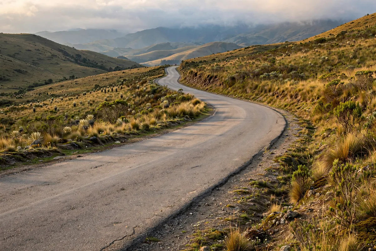
You can reach the park by road through designated access controls, or use a bus from Cuenca. The main road is the Cuenca–Molleturo–Puerto Inca road; permitted entry is through the Quinoas and Huagrahuma controls, while Laguna de Llaviucu is accessed through its Llaviucu control.
Buses bound for Guayaquil via Cajas leave daily from Cuenca’s Terminal Terrestre, with fares of $1.50 to the Toreadora refuge and $1.00 to the Llaviucu entrance.
Another option is Occidental station, behind Feria Libre, with departures for Naranjal via Cajas at 06:00, 07:00, 10:00 and 12:00. Bus schedules and fares can change, so confirm them with the operator before travel.
Cuenca agencies offer excursions lasting one, two or three days. If you choose a tour, confirm entry arrangements with the operator and ETAPA EP, especially since park access requirements may change. If your trip begins at the airport, the route from Mariscal Lamar Airport to Cuenca’s historic centre can help with the city-arrival leg.
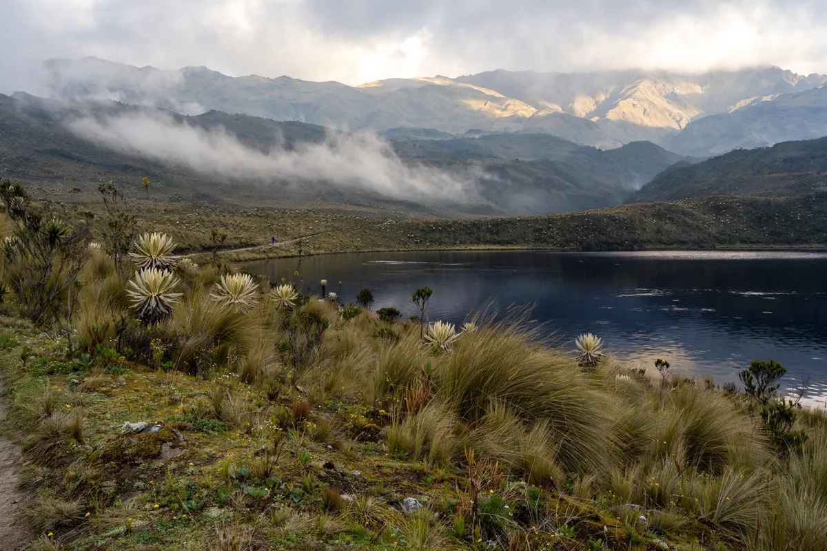
Altitude, weather and what to pack
Cajas trails reach high elevations, so build your day around the route’s altitude and the weather rather than distance alone. ETAPA EP advises against starting or continuing hikes after 16:00 because fog can become intense and temperatures very low.
Pack warm, waterproof clothing, suitable walking shoes, sun protection, a hat and gloves. Carry water and high-calorie food, and avoid starting long walks or routes in adverse weather. If conditions worsen, follow the park’s guidance rather than pressing on with a long route.
Park access, safety and conservation rules
Visitors must stay on marked routes and trails, respect restricted or restoration areas, and register at the designated sites of Toreadora, Llaviucu and Soldados. These rules help protect the park and give you a clear plan for where to check in.
Visitor entry is exempt from charge, while overnight stays have fees: $1 for Ecuadorians and foreign residents under 16, $2 for those over 16, $1 for senior citizens and people with disabilities, $2 for foreign visitors under 16, and $4 for foreign visitors over 16.
The park is open from 08:00 to 16:30, and Cuenca’s tourism guide recommends downloading the Parque Nacional Cajas app. Hours and access details may change; check the official site before you go.
Do not enter or swim in lakes or waterways. Fires, weapons, toxic or contaminating substances, and bringing in exotic plants or animals are prohibited. Follow posted instructions and stay on marked trails throughout your visit.
FAQs
How far is Cajas National Park from Cuenca?
The La Toreadora refuge is 32 km from Cuenca. The park is southwest of the city, in Azuay Province.
Are there easy trails in Cajas National Park?
Yes. The Toreadora, Tres Cruces and Laguna Cucheros trails are rated low difficulty, with estimated durations of 2 hours, 1 hour and 1 hour respectively. Check current route information before choosing.
Do you have to pay to enter Cajas National Park?
Visitor entry is exempt from charge. Overnight stays have fees that vary by visitor category.
What other day trips can you take from Cuenca?
Gualaceo and Chordeleg make a two-town day trip from Cuenca, separate from a visit to Cajas. The Gualaceo and Chordeleg day-trip route covers that outing.